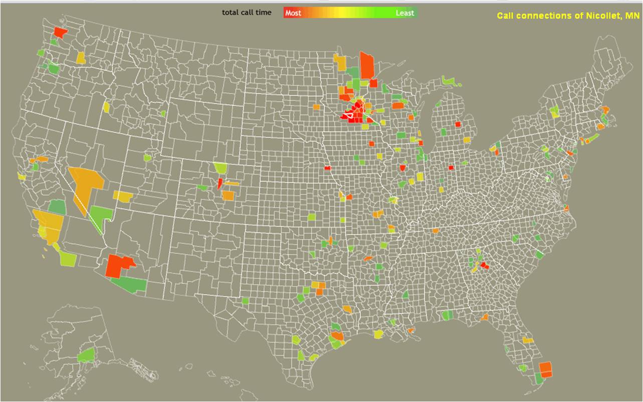
This map shows where AT&T mobile phone users in Nicollet County, Minneosta, spend the most time calling.
How are people connected to other locations via phone calls and texts? Here’s a great map showing where mobile calls and texts originate and are sent in the United States: http://senseable.mit.edu/csa/interact.html. Where do most of your calls and texts go to?
is there an analysis besides just the map itself which discusses the implications??
Trevor, That’s a good question. If you follow the link above, the MIT website explains the study and provides data for download too. The website focuses mostly on data and visualization and less on implications. The authors state rather hazily that “[t]his data reveals patterns of social and economic activity that the researchers expect will be of interest to social scientists and policymakers. ‘We are particularly interested in how such rich information can help us gain a better understanding of our society, which in the future, could lead to more democratic, bottom-up structures of governance.'”