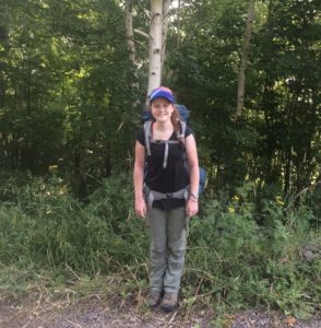
Helen Thompson is a double major in Geography with GIS and in Environmental Studies. In January, she was an intern for Nicollet County’s Property and Public Services Department based in Saint Peter, MN.
What were your daily tasks?
I worked on digitizing culverts and estimating their lengths using 2016 aerial photographs and DEM [digital elevation model] data for a public assets mapping inventory. I also digitized driveways in the county for emergency 911 services. Beyond GIS [geographic information systems], I learned a lot about local government processes.
What was the highlight of your internship?
The highlight of my internship was learning how GIS is used for various projects throughout the county and how a lot of different government services and positions utilize GIS. Also I liked learning about the history of map creation in the county: formerly, paper maps were updated once a year but now GIS allows instant changes. It was cool to see the old maps and books that used to be the norm.
What skills did you gain to improve your Geography or GIS experience?
I gained experience in the local government setting and learned a lot about how GIS can be applied in the real world.
What advice would you give someone who is looking for or working in a Geography/GIS internship?
Don’t be afraid to reach out to businesses or government offices. Nicollet County hadn’t had a GIS intern from Gustavus in a few years but was very receptive to taking on an intern. Also, ask questions–my supervisors were amazing in answering my questions about anything from local government basics to how they got to the position they are in now and career advice.
